")
")
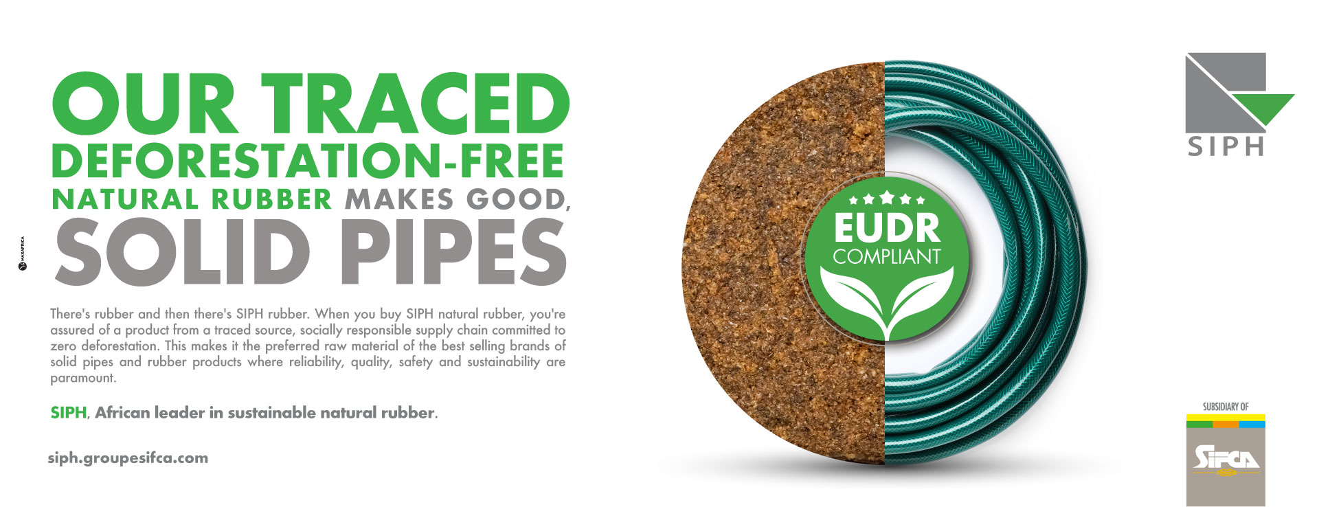
Fighting deforestation
Rubberway
Between July 2024 and the end of 2025, more than 22,000 farmers were interviewed to assess compliance with legal requirements in Côte d'Ivoire.
Satelligence
- Satellite monitoring of past and ongoing deforestation
- Production of land use map
Grower commitment
17,300 farmers in Côte d'Ivoire have signed a commitment covering the period from 2021 to 2025.
Identification of deforestation areas and forest areas through three mapping tools :
- Locating layers of deforestation zones from 2018 - Satelligence Project
- Layers of forest areas in 2020 with the SIFCA-SATELLIGENCE land use map - Satelligence Project
- Layers of forest areas in 2020 with the national land use map - Government
Identification of rubber plantations potentially causing deforestation from 2020 through the analysis of two pieces of information :
- Geolocation of rubber plantations
- Location of deforestation areas and forest areas from 2020
Verification of plantations potentially causing deforestation through Google Earth images and high-resolution images.
Management of deforestation risks through :
- Strengthening traceability controls in areas where deforestation is more frequent
- Signing commitment letters from planters
- Rubberway questionnaire
- Raising awareness among producers on deforestation-related topics: case of FIRCA financing with Côte d'Ivoire
- Financing projects to reduce deforestation risks: case of the SAPH-GIZ project in Eastern Côte d'Ivoire "Sustainable Rubber For Communities (SR4C)"